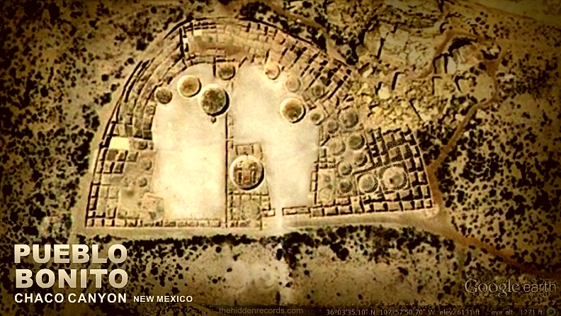
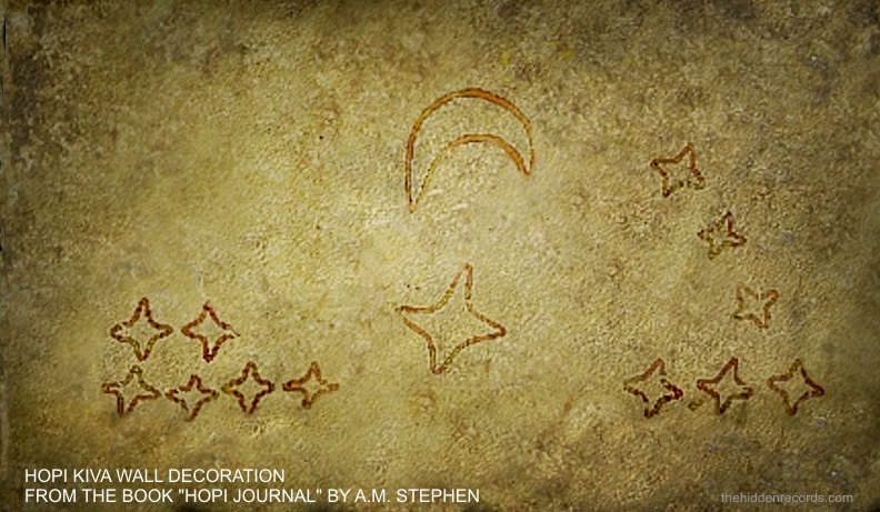
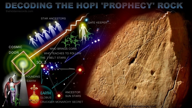
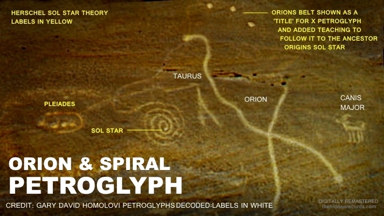
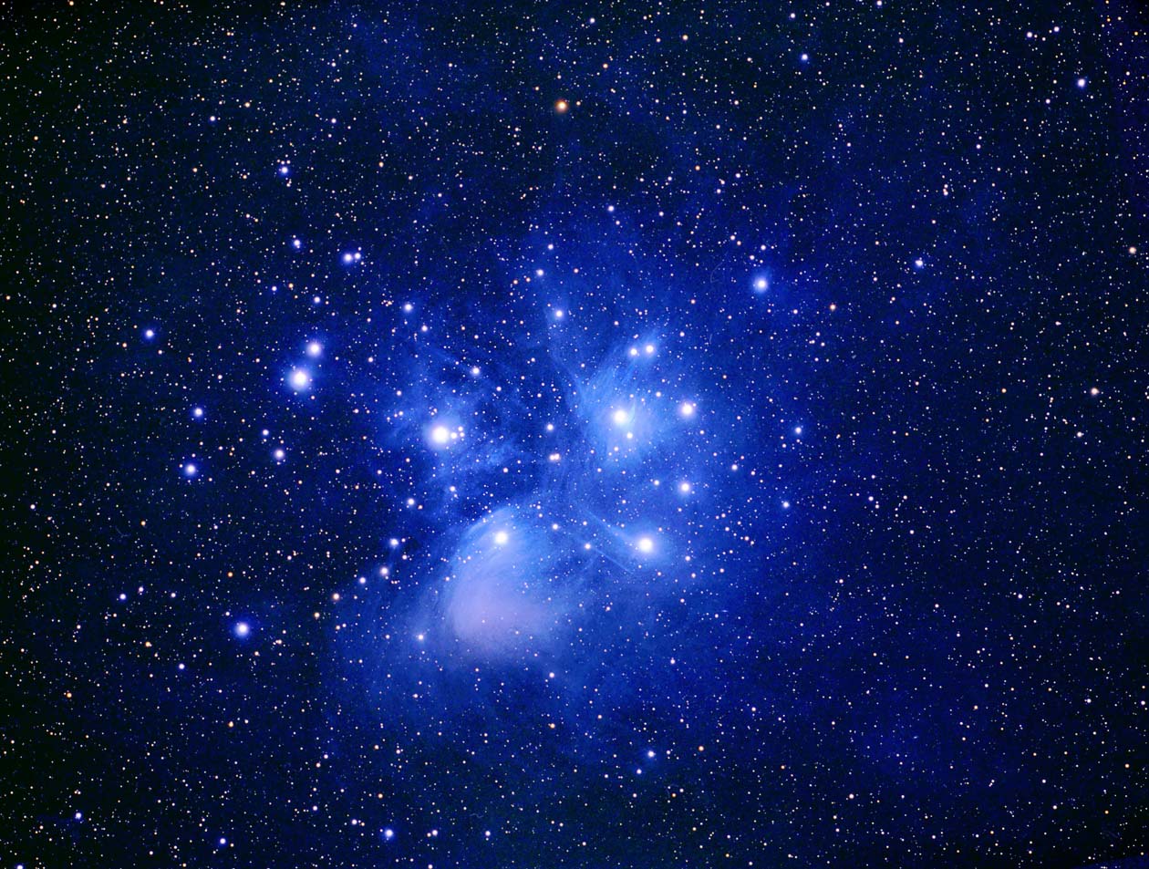
Now that I have recognised Pueblo Bonito as a curved enclosure with a cluster of kiva, this symbol with curved line around dots suddenly makes sense with a good match and hence represents the Pleiades.
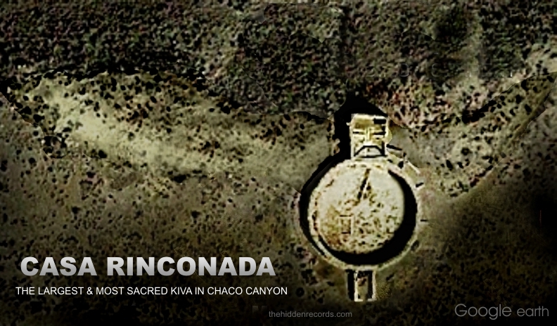
The spiral has a lot to reveal if you look closely. It is most likely repeating the reasoning of Casa Rinconada firstly as the same 'X' that marks the spot but more so of the means of travel riding a cosmic serpent. I am convinced the cosmic serpent and the spiral are both symbols without doubt for the cosmic conduit wormhole.
The spiral has a path originating from three dots in a row. This is probably explanation of the Orion special feature that seems to initially inscribe a mark going towards the Pleiades, then turns sharply towards the complete spiral. There is also a scratched mark between Taurus and Pleiades teaching it is one sacred area of the TAU. We now have enough detail to decipher the message in this star map.
"Follow the three stars of Orion's Belt to the area near the Pleiades where the spiral is positioned to find the star of their ancestors."
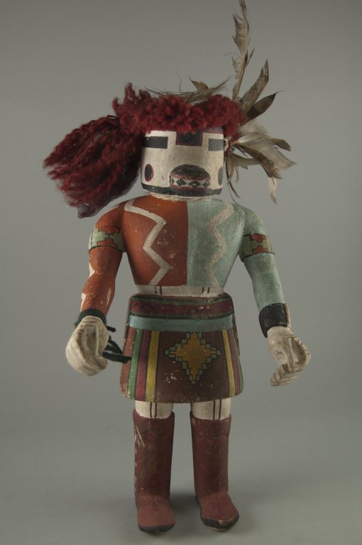
There are literally hundreds of petroglyphs with what look like star deities and standing with one arm against a large spiral found all over the world.
Is this not the perfect way to depict a cosmic wormhole that bridges space and time? A long distance line made short is achieved in drawing a spiral!
While comparing interpretations here with this petroglyph findings, its also important to compare the Mesa Orion correlation theory Gary David also proposed. He offered an Orion's Belt correlation theory interpreting the layout plan of three mesa in the Hopi Arizona Reservation settlement. He used this fundamental base to build a more complicated correlation theory of a much bigger area.
Correlation theories need to have solid foundation in good pattern matches as well as reasonable evidence for why it was chosen with star pattern importance.
Sadly after researching this layout claim, my researcher astronomer friends and historians and I could not identify any correlation at all.
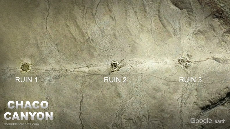
The image below covers the three mesa sites allocated to the Hopi people comprising the complete 'Hopi Reservation' ref .
A 'mesa' is the Spanish word for table and in the case of the plateaus in the area, it refers to portions of the plateau occupied by the Hopi people.
ref .
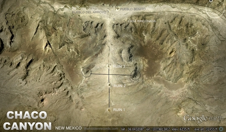
Here is the page reference identifying the positions of portions of the plateau of the three different sites. The names of the towns are identified on Google Earth and with gps coordinates ref .
No, there are not three independent hills at all that resemble any Orion's Belt pattern match.
An archaeology author and expert in this area tested the claim and found exactly the same ref .
But for me, even if the portions of plateau were small single plateaus, the area positions are not positioned at all to match the important three in a row positioning of Orion's Belt. The distance scale layout is so massive as well. Consider this with the fact the target correlations chosen dont have common recogniseable form, it simply cant be deciphered from above at all. My theory on these ancient star maps is they are meant to be recognised when viewed from above. They hold a message to be deciphered from deep space showing advanced life out there our place of origins who colonised this solar system.
I do however completely agree the choice of naming the three areas after the three stars of Orion's Belt is very likely. The Hopi would carry the star map tradition as sacred and believe the legend "As Above ... So Below" perhaps just in naming the three areas. The reservation choice of land became under control of the invaders who wanted the Hopi far away from their new developing cities.
|


